August 25, 2026
Large language models are accelerating Spatial Finance, but they can't do the job alone.
Few technologies have advanced as quickly, or attracted as much scrutiny, as artificial intelligence (AI) and the large language models (LLMs) built on top of it. The exponential growth and everyday adoption of AI and agentic technologies are challenging to keep up with, alongside the legitimate criticisms around model security and the economics of running models at enterprise scale.
However, given AI’s breakneck pace of development, critiques that held up a year ago are often no longer valid today. Growing computational resources are driving greater model capabilities, with brute-force scaling often expanding AI into new domains. The technology is evolving too fast for static judgments, and the field of Spatial Finance is no exception.
This article sets out where things stand at the intersection of AI and Spatial Finance. Read on to learn what has changed, what LLMs can and can’t do in this domain, and why the most valuable applications still depend on scientific rigor and human judgment.
What is Spatial Finance, and why is it accelerating now?
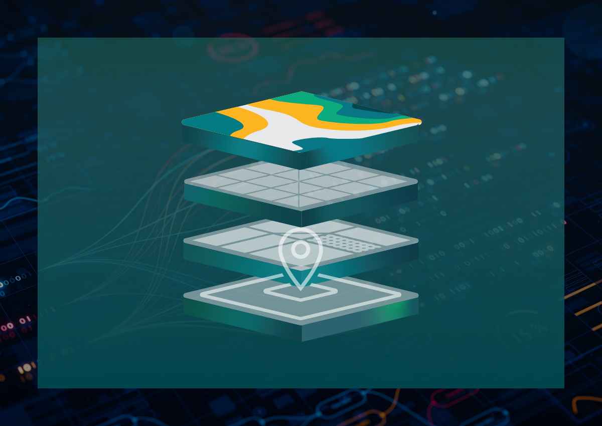
Spatial Finance is the integration of geospatial data into financial theory and practice. It lets organizations quantify physical and transition risk at the asset level by integrating real-time geospatial information into classical modeling and assessment. This reveals how the physical and human forces converging on specific locations (farmland, watersheds, facilities, etc.) affect the value of financial assets and cash flows.
Historically, this form of asset-level environmental intelligence was effectively limited to the domain of the reinsurance and underwriting industries. With the expanding volume of location-specific physical risk data, Spatial Finance provides another source of rigorous information on which to aggregate, process, and base capital allocation decisions.
Advances in satellite constellation data availability and cloud computing and storage have made Earth Observation (EO) insights operationally viable in ways technically impossible even a few years ago. And, AI and agentic workflows now enable the scaling of Spatial Finance by turning disparate data sources and physical risk indices into clear, actionable insights regarding place-based resource allocation.
Spatial Finance’s core function is translation. It translates the language of the physical world – pixels, scores, signatures – and converts it into the business language of exposure, valuation, and credit risk. That translation is visual as much as it is numeric. Rather than relying on spreadsheets, Spatial Finance analysis produces thematic maps and risk models that convey physical realities on the ground with an immediacy that can move decision-makers to act at speed.
By uniting two seemingly disparate fields – physical Earth data and financial economics – Spatial Finance synthesizes the value of physical interventions.
Spatial Finance, AI, & LLMs: Current state of play
In a perfect world, an LLM could quickly ingest satellite imagery, geospatial data, and financial statements and produce a rigorous business case for investments targeting identified physical and transition risks (and opportunities!).
However, that is not the reality of how the technology is deployed in practice. LLMs and Spatial Finance can work symbiotically, but with crucial hand-holding by humans at both the start and end of a workflow. Varied data formats and reporting practices, disjointed regulatory information, mismatched timelines of business expenses, and chronic physical and transition risks cloud AI’s ability to identify the most valuable interventions or costly risks.
On the finance side, LLMs are already used heavily and effectively. Standards like GAAP accounting, ROI analysis, and business calculations are well defined, meaning you can hand a model copious data and get reasonable results. These are hard numbers against known rules, the kind of work LLMs can do in their sleep.
On the spatial side, a general-purpose LLM is less mature. While remote sensing, satellite imagery, and pixel-level analysis are well-established uses of AI, translating those signals (vegetation health, soil moisture, drought severity, etc.) into decision-useful insight is still a developing capability.
What is emerging instead is a class of purpose-built models – specialized systems trained specifically for spatial reasoning. Google's Geospatial Reasoning, IBM’s TerraTorch, and OlmoEarth are great examples, and they are getting better by the day.
Can an LLM combine spatial reasoning and financial analysis into a single view?
Spatial Finance by definition is the integration of geospatial analysis into financial decision-making. Today’s AI models aren’t yet bringing that intersection together in a purposeful, secure, and replicable manner.
Spatial imagery analytics require specialized workflows focused on interpreting pixels, while providers have concentrated their biggest models on general-purpose programming applications. Merging geospatial and financial reasoning requires marrying disparate and often incompatible data, timescales, and underlying reasoning frameworks. As such, the link between physical and transition risk and econometric modeling requires an intermediary handoff between human and machine. The “one LLM to rule them all” ambition doesn't yet fit this use case.
It should also be noted that LLM capabilities in the realm of processing satellite imagery are still lacking. For an AI model to make sense of that data at scale, it has to rely on a technique called embeddings. These embeddings are a sequence of unique numbers assigned to different attributes, allowing a model to detect patterns and correlations across enormous datasets. As LLMs can read and relate these embeddings, they let a person query that data through a natural language interface, asking questions of the data in plain words.
High-level versus place-based risk narratives
LLMs are strong at gathering, aggregating, and synthesizing data and information. Simple queries can pull spatial datasets and turn asset-level risk into a high-level narrative a capital allocator can read. On the finance side, they reliably handle well-defined, standards-based calculations.
However, they have limits. Out-of-the-box LLMs are, by nature, generalized tools meant to tackle a wide range of applications. They can grasp generalities about a sector by training on a vast ecosystem of existing data and norms. The result is a general risk narrative that is a useful starting point but not a basis for allocating capital, and one still prone to imprecision and errors on high-stakes financial numbers used to make decisions. For instance, they likely could not identify the unpredictable muddle of transition forces – the policy, financial, technological, market, and geopolitical pressures – influencing each individual asset.
AI use cases in Spatial Finance
AI has made it possible to index the Earth at scale. Rather than analyzing each satellite image on its own, large models now compress raw imagery into compact, reusable representations that can be compared across time and geography, turning Earth’s surface into something that can be queried in seconds. Cambridge’s TESSERA maps the globe at 10-meter resolution, and Google’s AlphaEarth offers a general-purpose way to characterize any location on Earth. Together, these models can locate an asset and describe the physical risk it faces with remarkable speed.
Satellites generate the imagery that foundation models turn into a searchable record of the Earth's surface.

An indexed Earth, however, remains just that. The real power of AI in Spatial Finance is joining geospatial data with financial analysis. Done across a portfolio of locations, this connection can surface the indirect, yet often highly consequential business interruption costs that can jeopardize long-term operational viability. In fact, a recent analysis by MSCI found business interruption risk to be 14X larger than the risk of direct asset damage.
AI can trace these dependencies through supply chains and shared infrastructure. For example, a consumer goods company’s manufacturing sites may sit undamaged while drought in a sourcing region for a key ingredient disrupts supply, with the financial impact surfacing several steps downstream. Mapping those connections is what makes hidden exposures visible, and therefore priceable.
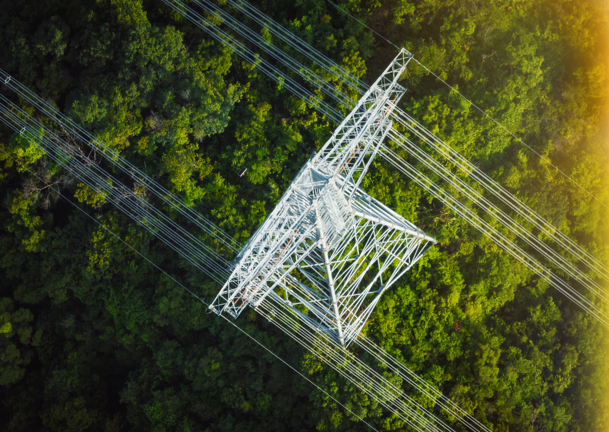
Even then, AI-enabled indexing and data joining only take the analysis so far. Running it across hundreds of a company’s facilities, and layering in that company’s specific transition risk forces, remains largely unresolved. For instance, in the case of energy security, AI can pinpoint a facility's location and hazard profile, but it can’t tell you its parcel-level grid capacity, forward power-price risk, power availability and interconnection timing, tariff-specific costs, or whether there is a bankable case for intervention. Those are the questions that drive a capital decision.
The bottom line
The Bitter Lesson (the principle that data and scale tend to beat human-designed models) is playing out across the physical and financial world. High-quality data on nature, weather, commodities, and energy is becoming widely available, and AI and LLMs can now interrogate it rigorously and securely.
But not every use case will pay off equally, as value concentrates in applications with a clear, defensible return. Among the strongest is financially quantifying physical and transition risks and opportunities, and allocating capital accordingly. It is exactly the kind of high-stakes decision that demands robust spatial and financial intelligence.
For now, though, no single model delivers that intelligence end to end, and the investment to build one hasn't been made. That leaves general-purpose LLMs to fill the gap, which on their own fall short.
LLMs are one tool in the Spatial Finance toolbox. They accelerate the work, but they don't replace the scientific rigor and human judgment that turn geospatial data into an investment decision an executive can stand behind.
The organizations that treat AI this way (as an accelerant governed by rigor, not a replacement for it) will be the ones that can allocate capital with confidence in a changing world. While LLMs are transformative, today's models lack the specialized skills to synthesize across the intersection of geospatial data and financial economics.
This is precisely the problem Spatial Finance methodologies can solve, and the intersection Earth Finance is building for. Our forthcoming SpatiaFi platform combines physical and transition data with the financial economics and scientific analysis needed to help companies make informed, secure, and thoughtful place-based investments.
Join us at New York Climate Week for more on this topic. Earth Finance is hosting a panel on Spatial Finance and the future of place-based investment, followed by a networking reception and live demonstrations of SpatiaFi Energy, the first module of our SpatiaFi platform.